Essendon, by the numbers and by the street
An independent guide to one of Melbourne's oldest north-west suburbs: its history, census figures, schools, parks, trams and the questions people ask before moving here.
Essendon is a suburb in the City of Moonee Valley, about 8 kilometres north-west of Melbourne's central business district. It covers roughly 6.2 square kilometres and uses postcode 3040. Buckley Street marks its southern edge and Keilor Road its northern one, with Mount Alexander Road running through the middle.
The Wurundjeri people of the Kulin Nation are the Traditional Owners of the land. The suburb takes its name from the village of Essendon in Hertfordshire, England. Richard Green, who was born there, gave the name.
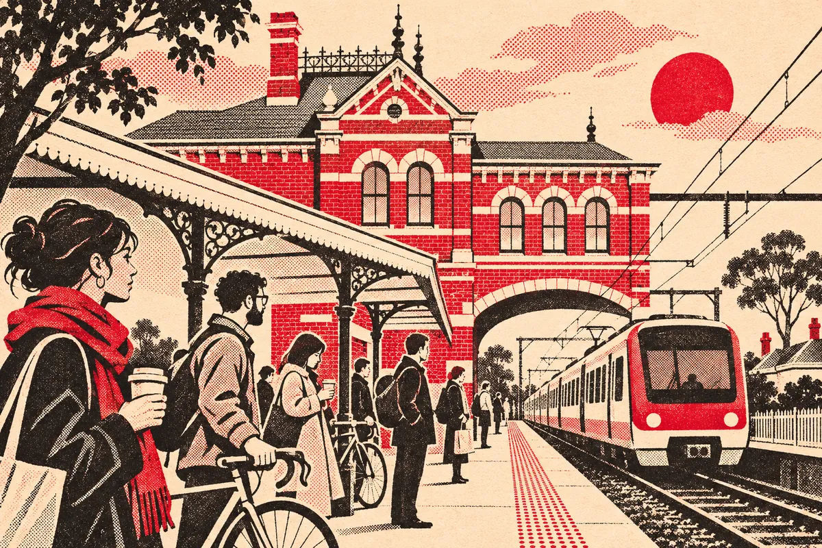
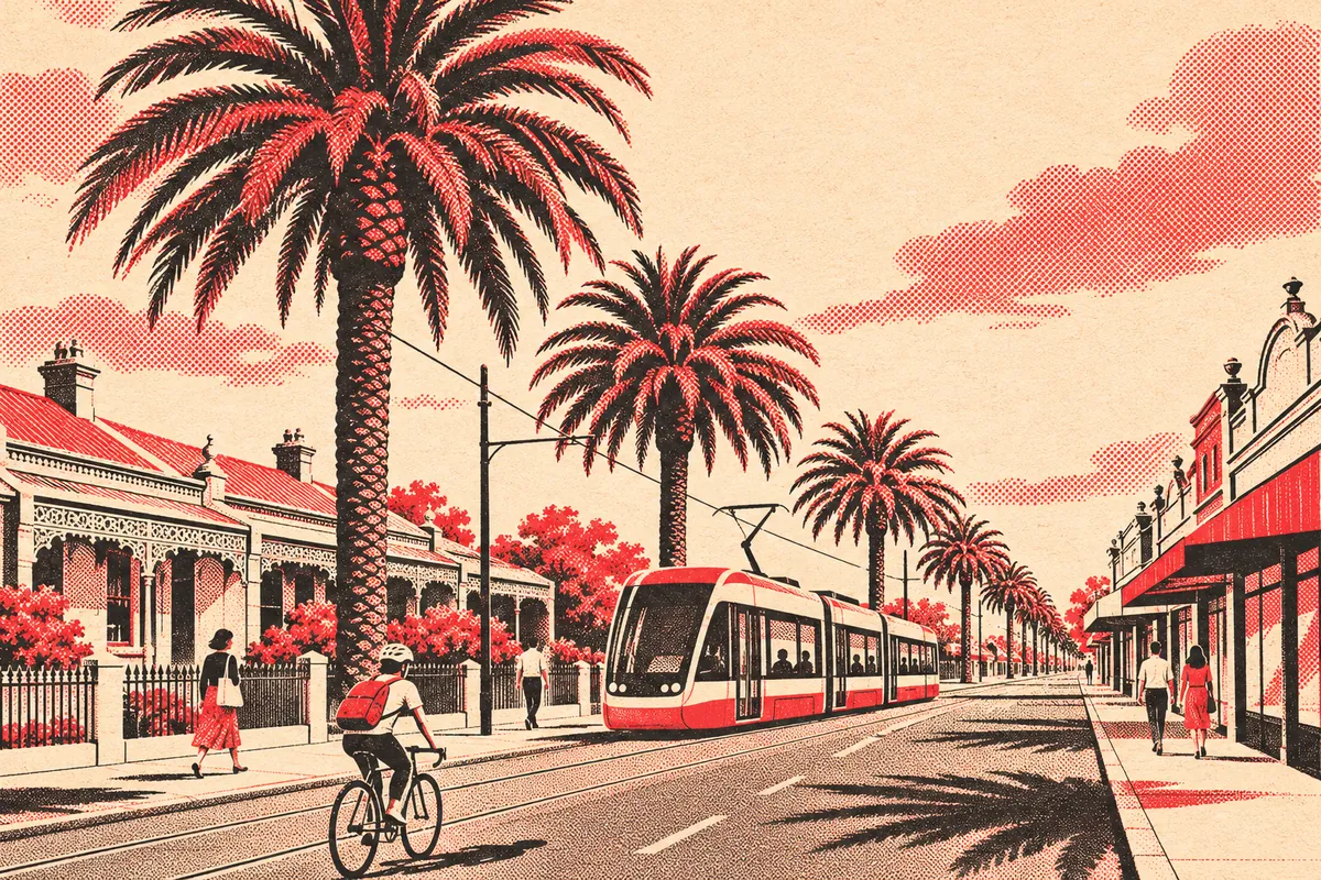
Gold drove its early growth. From 1851, diggers bound for Castlemaine and Bendigo travelled along Mount Alexander Road, and Essendon Post Office opened on 18 August 1856. Government trains between Essendon and Melbourne began on 9 January 1871, after a private line ran from 1860 to 1864. An electric tramway reached the suburb in 1906.
Essendon is also known for football and flight. The Essendon Football Club made Windy Hill its home ground in 1921, and the airport at nearby Essendon Fields dates from the same year. The airport was Melbourne's main international gateway until Tullamarine replaced it in 1970.